US & International Services
Using our proprietary technology and industrial-scale algorithms, Forsite is able to provide detailed resource analysis services to support both strategic and operational planning and processes.
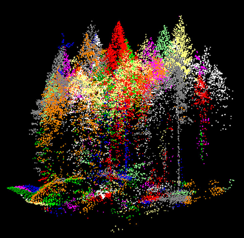
DATA DRIVEN FOREST INVENTORIES
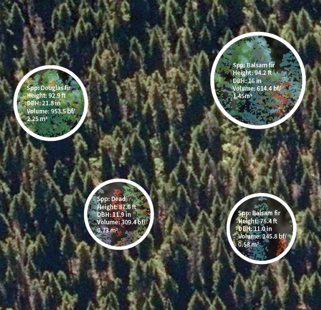
Using our proprietary TreeID technology, Forsite builds richly detailed forest inventories from LiDAR using a combination of individual tree and area based forest inventory methods. This produces forest inventories that make you feel like you are standing in the forest while working at your desk. Attributes include species, tree lists, stand/stock tables, and statistically defensible volumes in far less time that traditional inventories.
View Forsite’s LiDAR Story Map and visit our Forest Inventory page for more information on our services.
Contact Us
Mike Parlow
Team Lead, LiDAR Inventories
250-954-7850
[email protected]
FOREST ESTATE MODELING
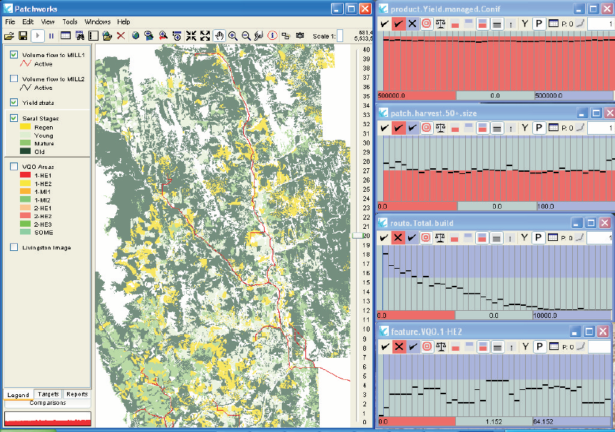
Forsite can predict the flow of revenue from timber and/or carbon offsets into the future while assessing sustainable harvest levels. We use PatchworksTM to generate optimized harvest forecasts that consider detailed spatial constraints and operational logistics like road construction and haul costs.
Contact Us
Cam Brown, RPF
Resource Analysis
250-832-3366 ext. 220
[email protected]
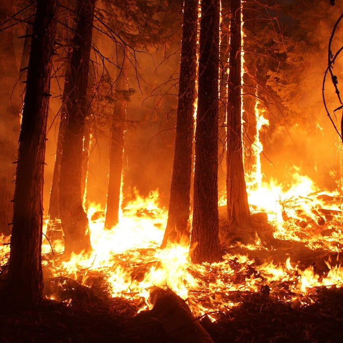
FOREST FIRE FUEL HAZARD ASSESSMENT AND PLANNING
- Detailed data: use remote sensing data to map wildfire fuel characteristics, vertical structure and connectivity to streamline your fuel management planning and operations
- Holistic wildfire management and planning: Forsite offers prevention, planning, response and recovery solutions for land managers and utilities
Visit our Wildland Fire Management page for more info.
Contact Us
John Davies, RPF
Senior Wildland Fire Specialist
250-540-3473
[email protected]
LIDAR ANALYSIS & PRODUCTS
Forsite offers a comprehensive line of LiDAR analysis and processing services ranging from initial classification (or re-classification) of raw LiDAR point cloud data to a suite of customizable value-added products (Streams by class, slope themes, watershed boundaries, wetness indices, etc.).
Visit our Data Management & LiDAR Products page for more info.
Contact Us
Mike Parlow
Team Lead, LiDAR Inventories
250-954-7850
[email protected]
Projects
OREGON FOREST ESTATE MODELING
Harvest volumes and carbon offset credits created each year and associated net values generated. Optimal tradeoff between carbon and harvest revenues was determined using Patchworks – a spatially explicit forest estate model.
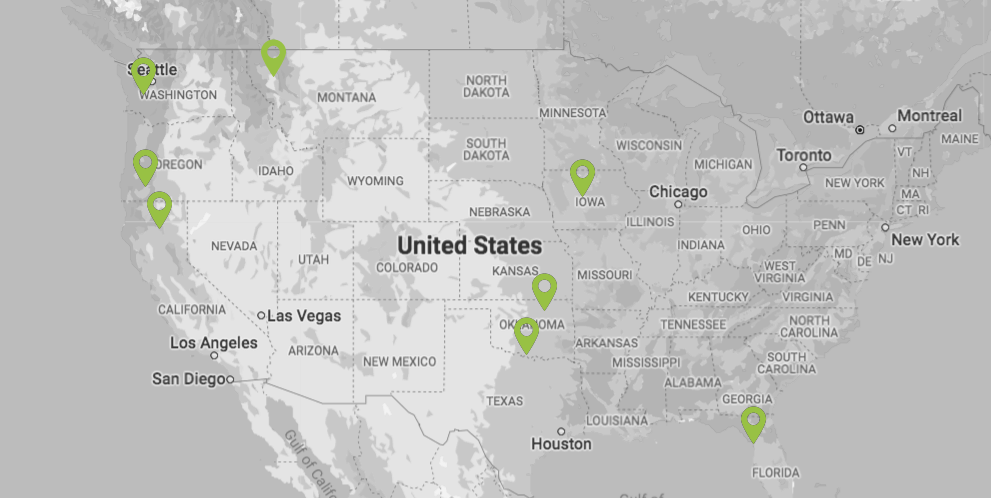
US Project Locations
Here are some of the locations in the United States where we’re delivering value. Forsite’s geographic diversity and size provides economies of scale to deliver quality, timely and cost effective forest management services.